Giza 2030
Why we need a Vision for GIZA
Giza has always been a focal point in Egypt’s history due to its location close to Memphis, the ancient pharaonic capital of the Old Kingdom. Giza is most famous for the location of the Giza Plateau: the site of some of the most impressive ancient monuments in the world, including a complex of ancient Egyptian royal mortuary and sacred structures, including the Great Sphinx, the Great Pyramid of Giza, and a number of other large pyramids and temples. As we are entering a new revolutionary era, the city of Giza faces a group of challenges that needs a new strategic plan, underpinned by a visionary approach and focused on sustainability. The challenges facing the city mean that a dramatic and rapid shift in thinking and action is needed to secure the city’s livability and prosperity for current and future generations. Under pressure from continuing growth and change and looming environmental and economic threats, planning for the city’s future is essential.
Vision Brief:
Due to the current urban pressure in the city of Giza, clearly, if no actions are taken, the unique architectural legacy of the pyramids of Khufu, Khafre and Menkaure might be lost. The city enclave that is encroaching on the pyramid complex represents a threat for cultural heritage. This vision suggests new directions for the urban development and architectural heritage management, within the framework of spatial analysis of the historico-cultural heritage in the city. Following the legacy of our ancient Egyptian engineers who, without the benefits of computers and cranes, created monuments and master pieces that testify not only their sophisticated understanding of architectural principals but their ability to use and manage a huge number of men and materials for building’s execution.
The vision scope is focusing on five directions :
1-High lightening the potentials of Giza city – City of the world civilization
2-Creating new visual axis formed by the development urban structures from the heart of the city towards the pyramids
3-New infrastructure, roads and transit networks that links Giza with all the districts of Cairo
4- Green city - Green based vision
5-Limitation of slums and crawling on agricultural land
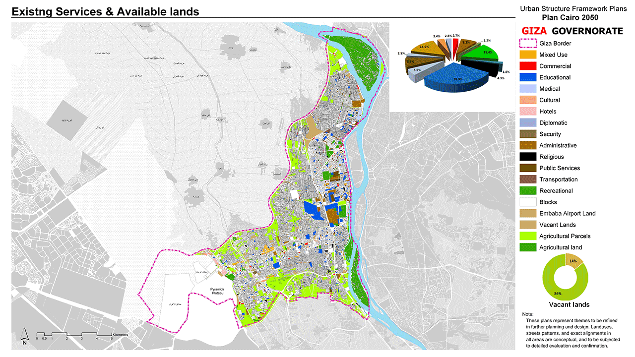
GIZA 2030 challenges

Existing
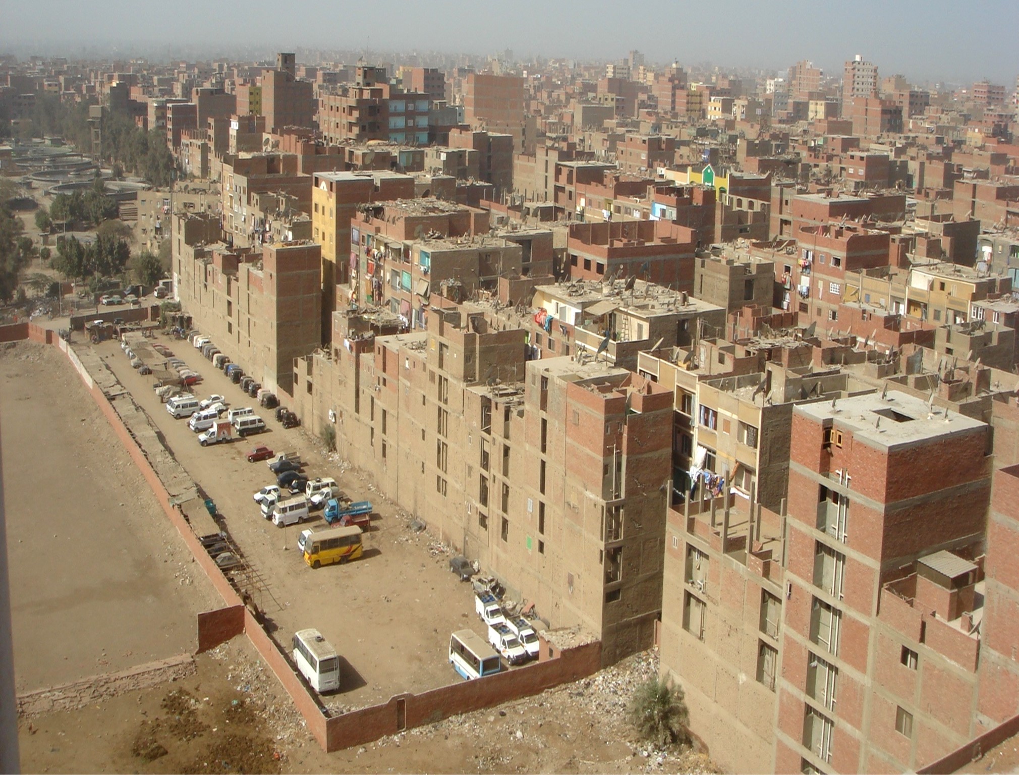
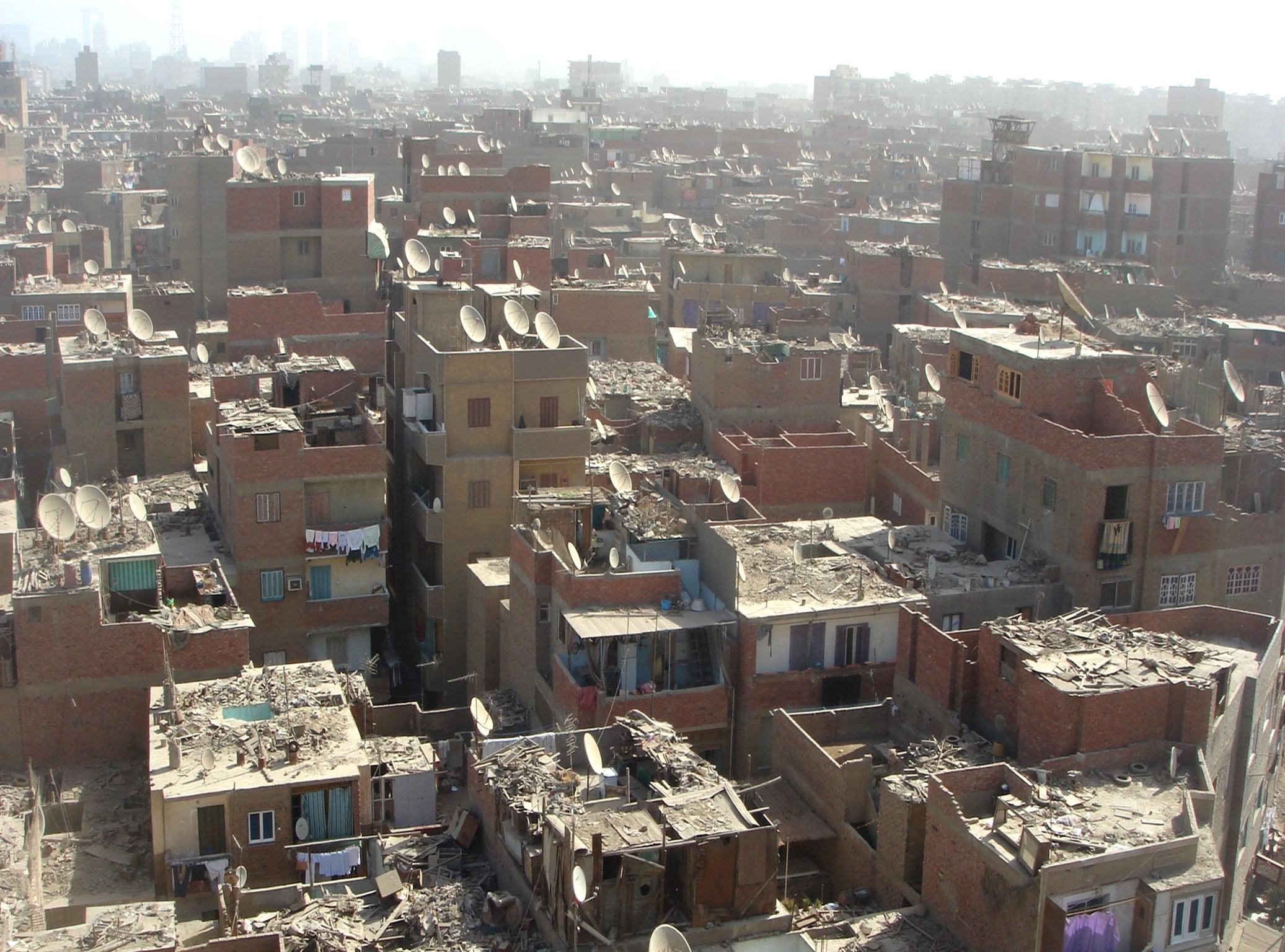
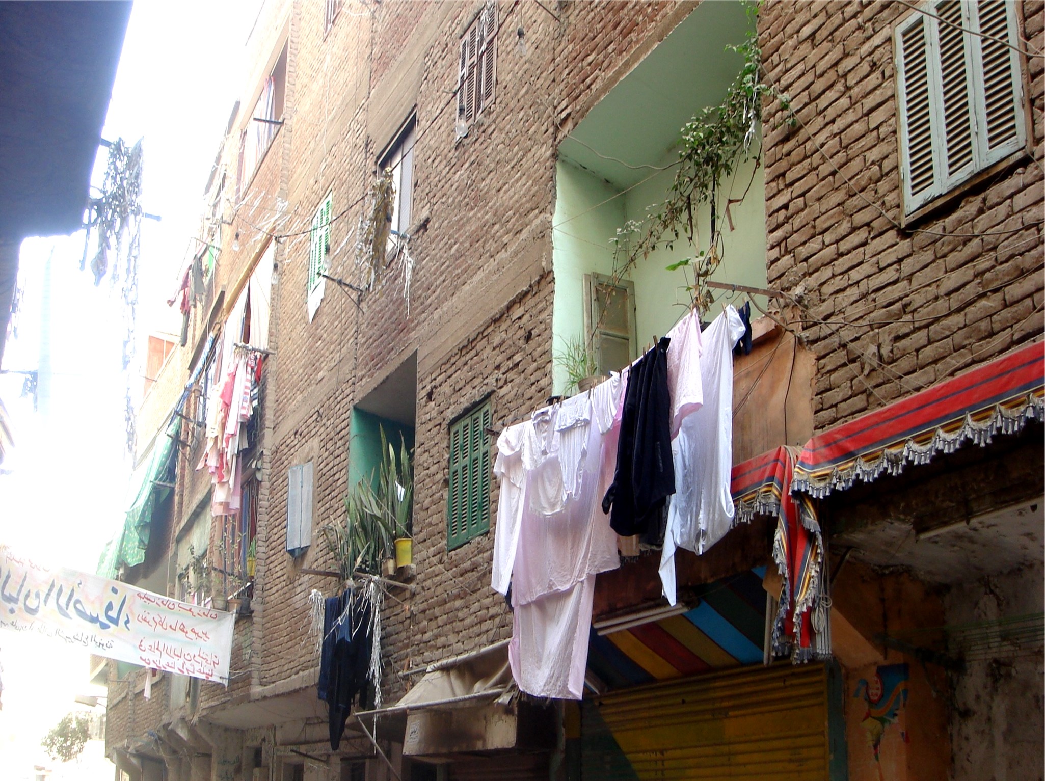
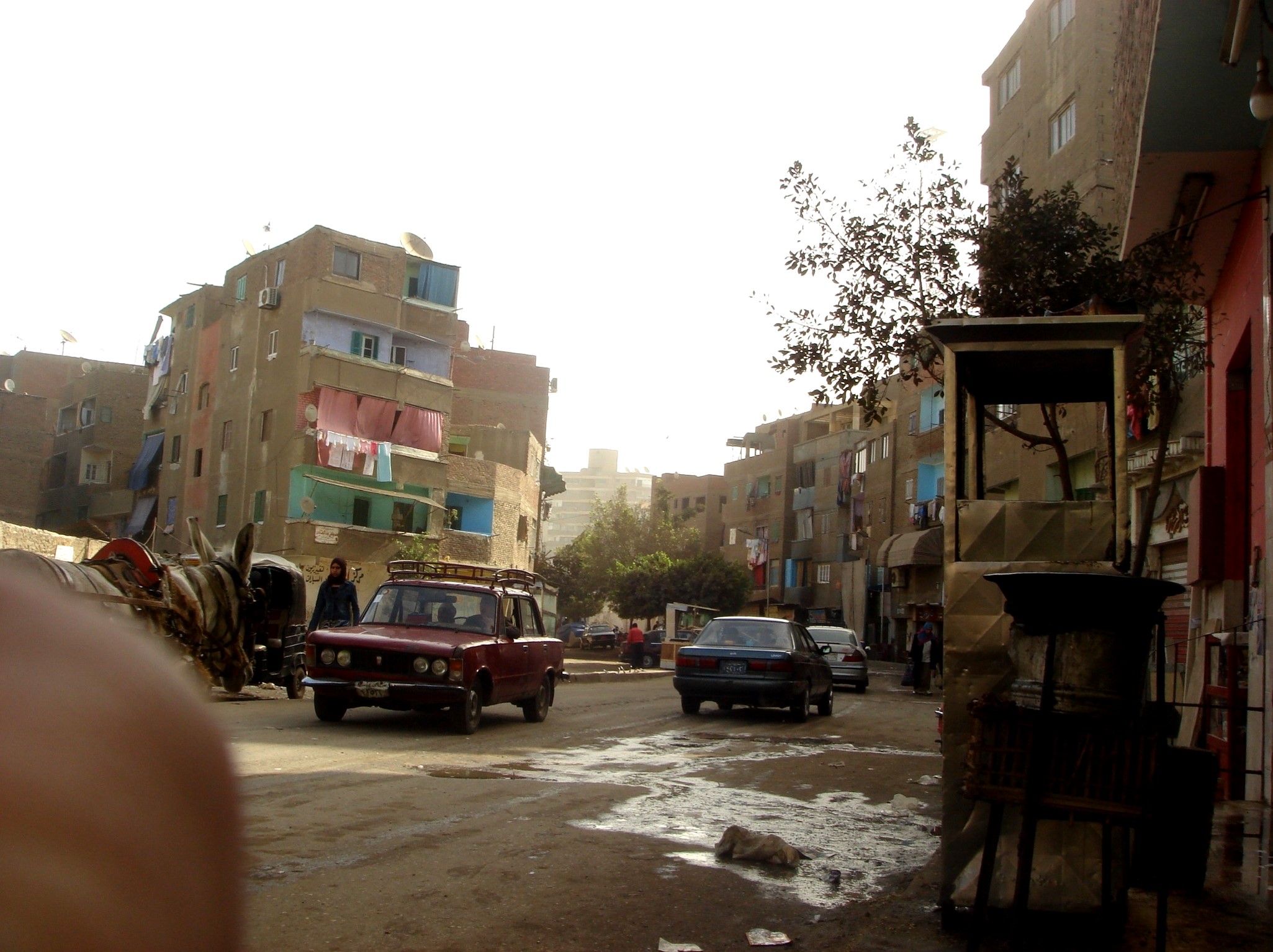
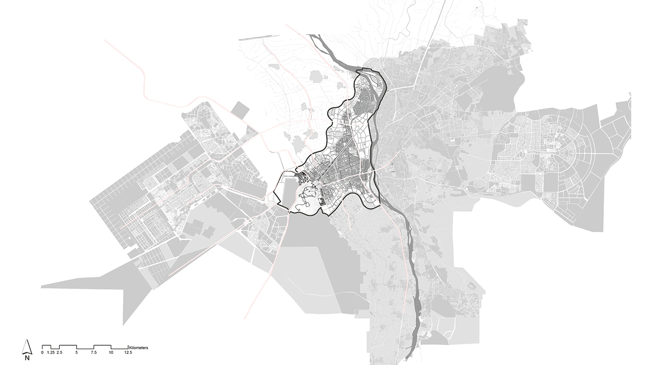
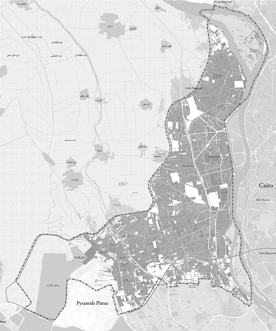
While Giza represents one of the most important cities due to its cultural importance due to the great number of historical sites. Urban sprawl has deleterious effects on natural and man-made landscapes and, therefore, on the attractiveness of visitor and tourist areas. Urban growth has therefore clearly been identified as an endangering factor for cultural heritage. With direct consequences for the conservation of cultural heritage and architectural monuments.

GIZA 2030 challenges
Existing
While Giza represents one of the most important cities due to its cultural importance due to the great number of historical sites. Urban sprawl has deleterious effects on natural and man-made landscapes and, therefore, on the attractiveness of visitor and tourist areas. Urban growth has therefore clearly been identified as an endangering factor for cultural heritage. With direct consequences for the conservation of cultural heritage and architectural monuments.
KHUFU Triangle
There is simply no way that the precise positioning of the Great Pyramid was due to chance. The Great Pyramid of Giza is the last remaining of the ancient Seven Wonders of the World and was the most accurately aligned structure on the surface of the planet, facing true north. The Great Pyramid of Giza was located at the exact center of the land mass on Earth. The great pyramid is in the center and at the same time at the border of the sector–shaped land of Lower Egypt. Lower Egypt in the geographical center of the land surface of the whole world .

Conceptual Proposal
The strategy focus on 5 different aspects:
-High lightening the potentials of Giza city as a tourist and leisure attraction
-High lightening the potentials of Giza city as a tourist and leisure attraction
- Creating new developments that forms a visual and traffic axis towards the great pyramid from within the city which highlights this exceptional place and emphasizes the outstanding vision and intellect of the ancient Egyptians.
- Implementation and development of a network for infrastructure and modern transportation that links the city with the different districts of Cairo.
- Development of Giza to be an ecofriendly Green City to meet international standards and provides a suitable living for the citizens.
- Limitation of slums and crawling on agricultural land .The objective is to create a city free of informal that protects the agricultural lands.
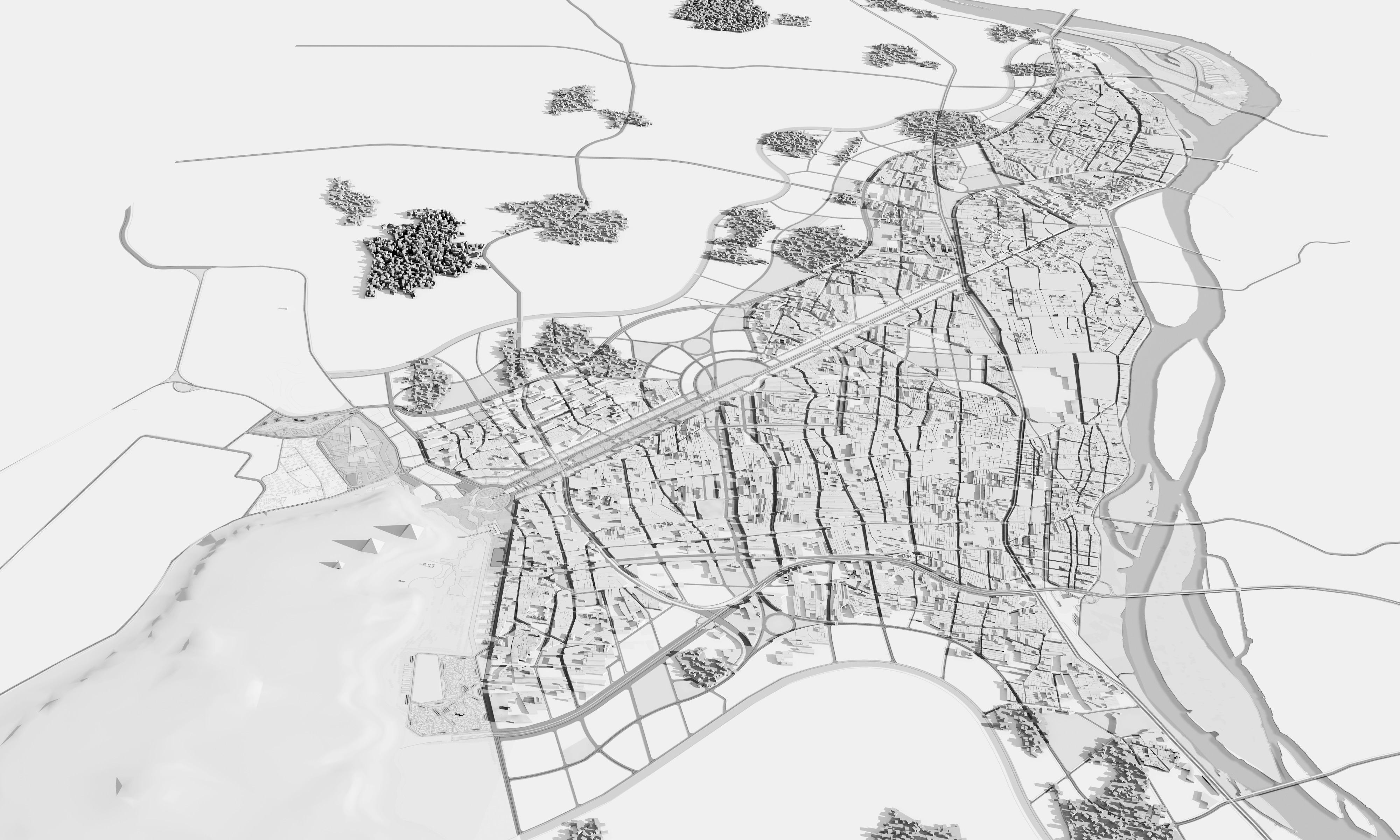
Master Plan
Recast land uses and building requirements to allow Giza to become a regular and sustainable urban fabric
New Network of Roads: Creation of a new progressive and interconnected road network in accordance with international standards by expanding existing roads and establishing new link hubs (dislocation and expropriation of existing informal properties).
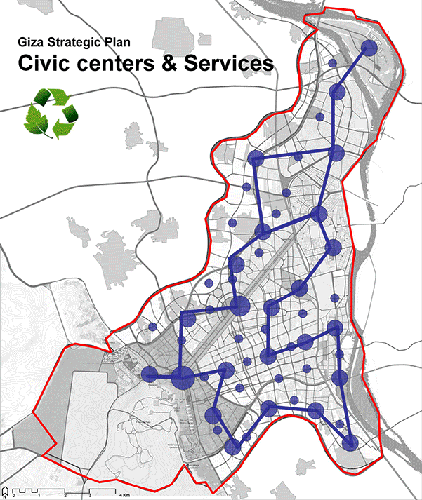
Civic centers and services network: Increase the service areas in the city in proportion to the population’s density.
High lightening the historical potentials of Giza: Accentuation of the touristic and cultural assets of the city through effective planning strategies , taking advantage of those monuments to be an attraction point for global tourism that contributes to the sustainable development of Giza .
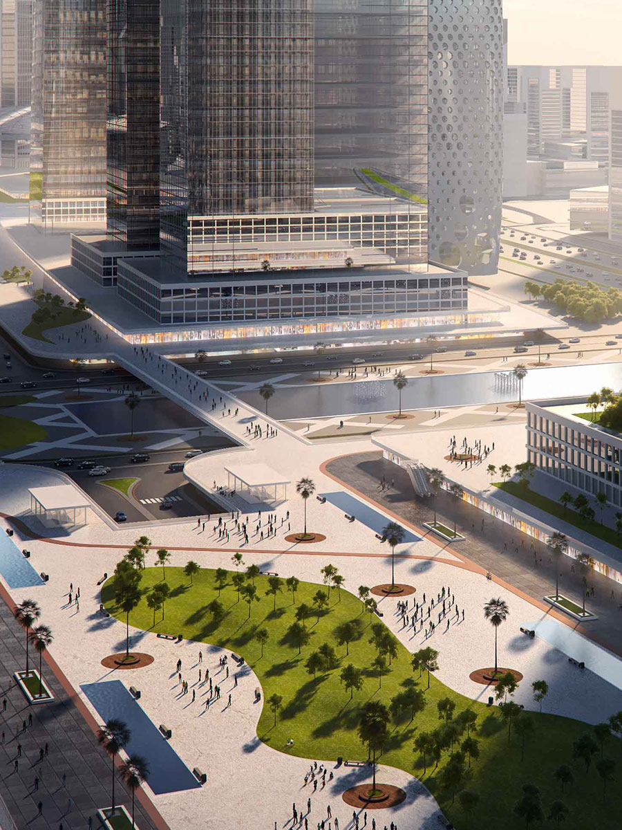
Building and heights: Reframing Giza Skyline and its visual formation through an optical gradient system (highest buildings in the center - korniche area and the height declines gradually at the borders ).
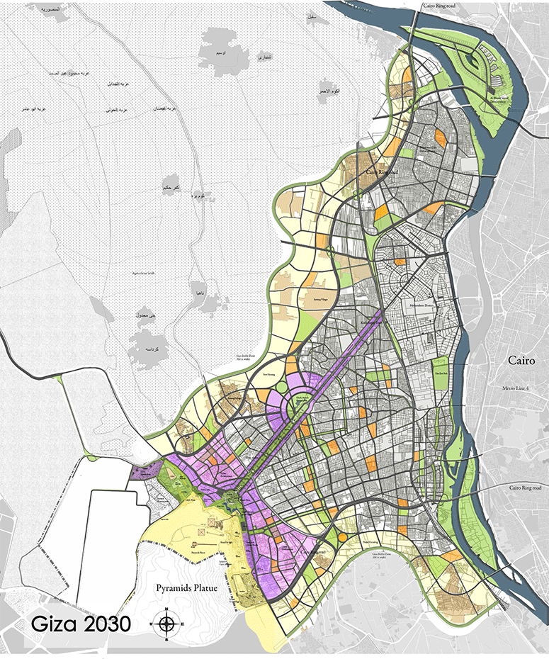
New housing concept: Prevention urban sprawl on agricultural lands through the creation of ecofriendly urban belt with an average depth of 750 m followed by a tree belt with a depth of 100 m which prevents any random extensions.
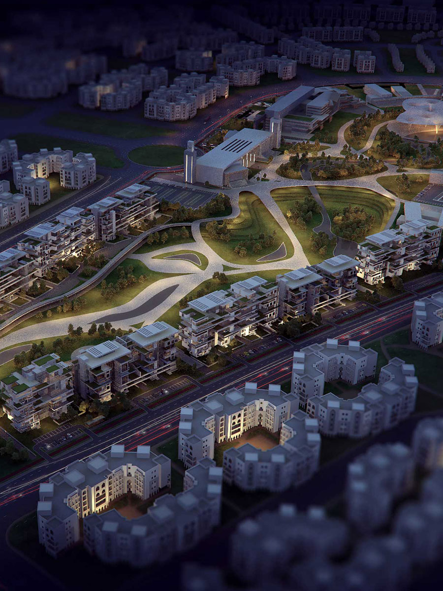
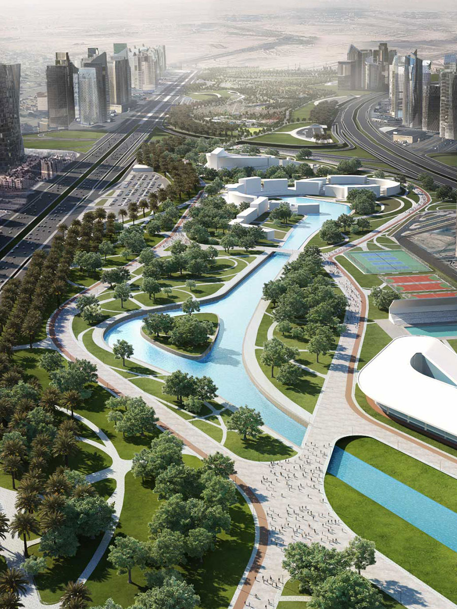
Green network: Creation of parks and public spaces between the urban blocks through a green network that increases the individual share in the green space. Besides its importance on limiting the crawling on agricultural land ,many other activities can be done (walking zone, Cycling Zone, entertainment plaza, carets and horse riding zone).
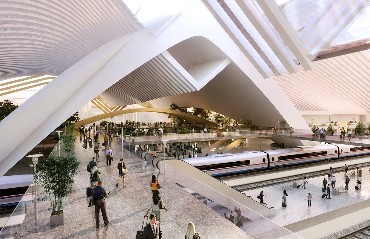
Transit Network: Development of a progressive public transportation network that serves all individuals and touristic groups in the area.
Education services: Restructuring the educational system in Giza and redistributing the institutions according to the population’s density and the location of the new service facilities.
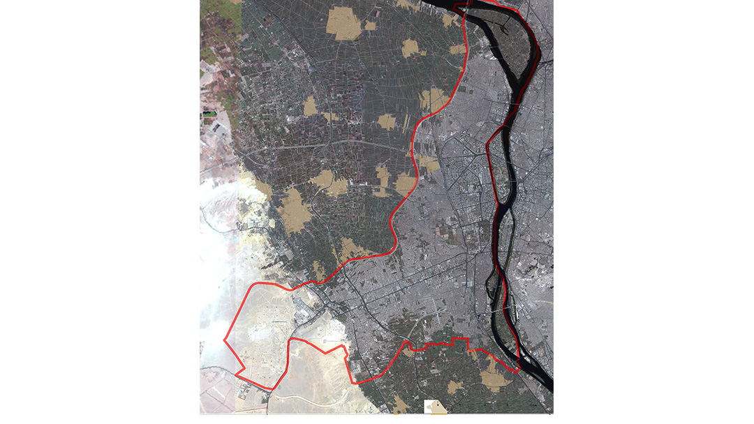
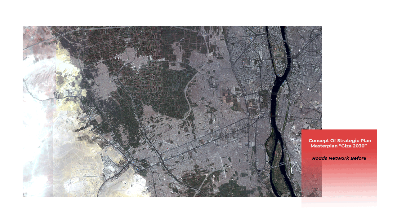
Roads Network Before & After
master plan explanation
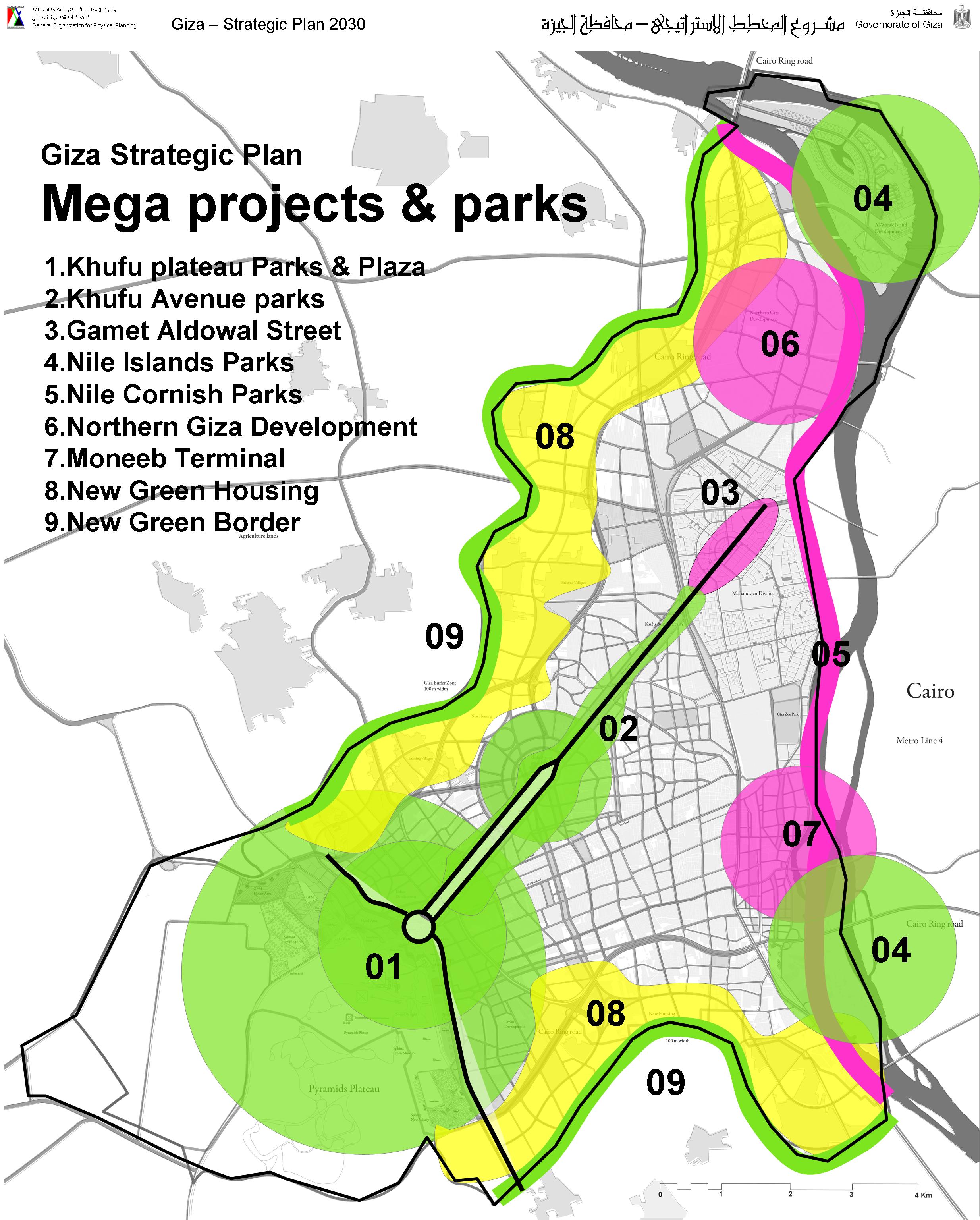
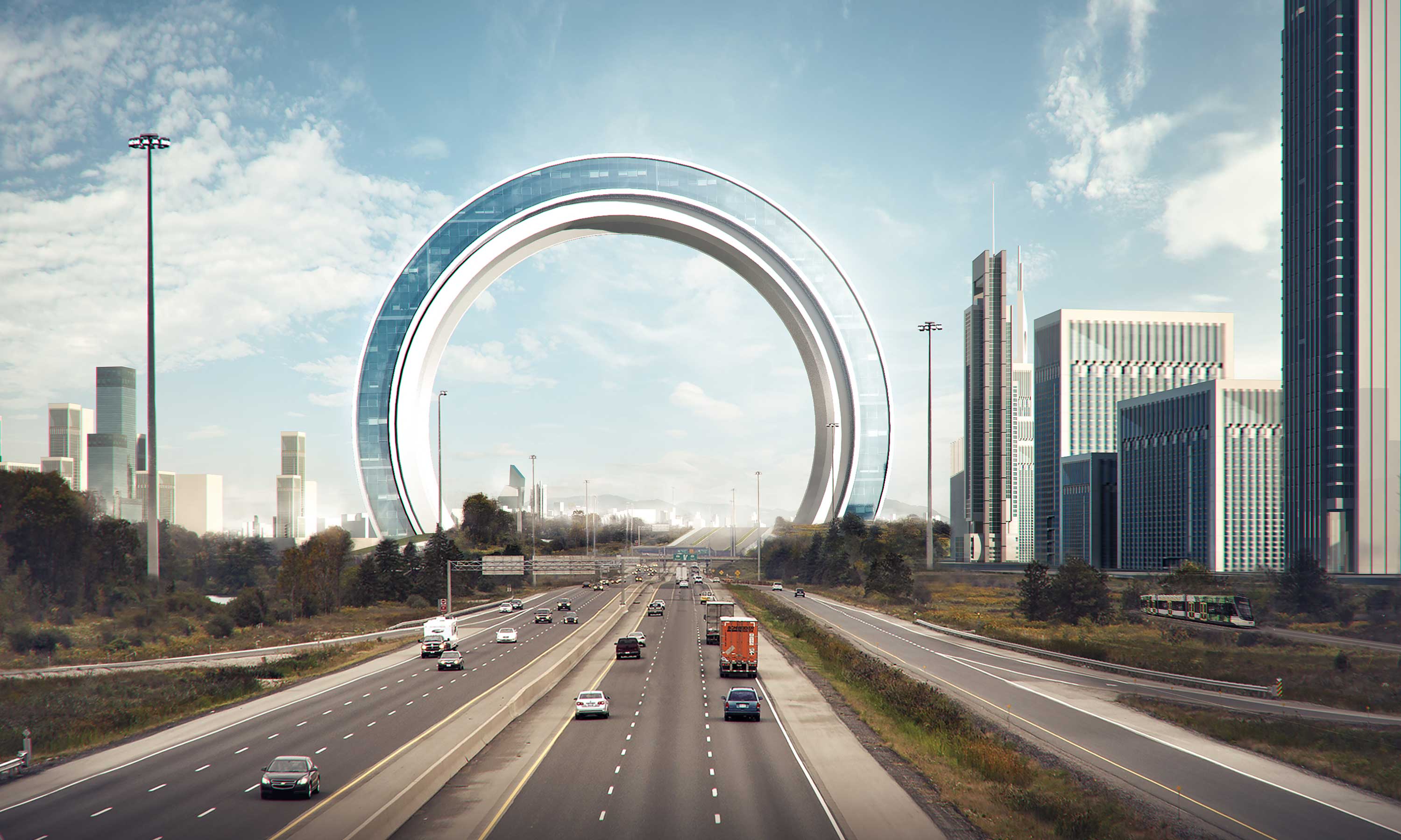
Mega Projects &Parks
- Khufu plateau parks & plaza
- Khfufu avenue parks
- Gamet Aldowal street
- Nile islands parks
- Nile cornish parks
- Northern Giza development
- Moneeb Terminal
- New green housing
- New green border